Gaza Herald — The destruction of Gaza is no longer measured solely by the number of Palestinians killed or the buildings reduced to rubble. Across the Strip, the destruction of homes, farmland, roads and essential infrastructure is fundamentally changing where Palestinians can live, where they can return and how much of their land remains accessible.
Even after the October 2025 ceasefire, demolitions and clearance operations have continued in areas under Israeli military control. Combined with the expansion of the so-called Yellow Line, the destruction is creating a new geography in which most Palestinians are concentrated into an increasingly restricted portion of Gaza while large areas remain under Israeli control.
The question is therefore no longer only what Israel has destroyed, but what the destruction means for Gaza’s future: whether Palestinians will actually be able to return to their communities and rebuild, or whether wartime displacement is being transformed into a lasting territorial reality.
Urbicide Beyond the Battlefield
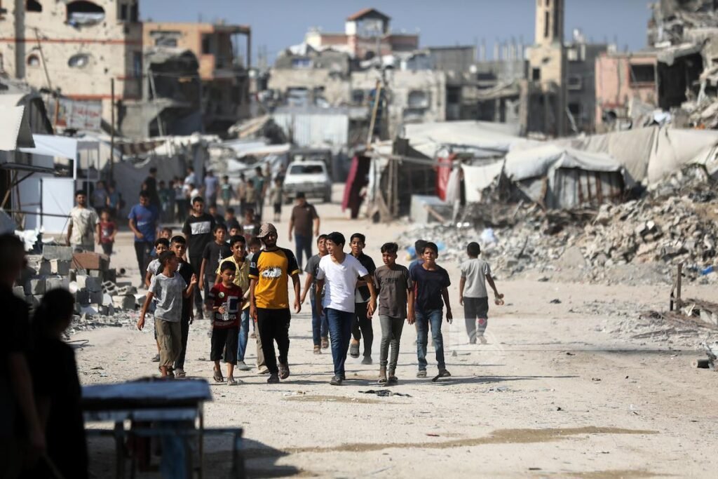
The scale of physical destruction is extraordinary. UN satellite analysis found that approximately 81% of all structures in Gaza had been damaged by October 2025. A subsequent UN, European Union and World Bank assessment found more than 371,000 housing units damaged or destroyed, alongside devastating losses to hospitals, schools, commerce and agriculture.
Some of the most extensive destruction has occurred in communities in eastern Gaza. Satellite investigations have documented towns and agricultural areas being almost completely levelled, including extensive destruction around Bani Suheila and the Abasan communities.
Such destruction matters beyond the immediate loss of shelter. A community cannot function through houses alone. When roads, schools, clinics, water systems, businesses and farmland disappear alongside residential neighbourhoods, the conditions required for collective Palestinian life disappear with them.
This is the essence of urbicide: destruction directed not merely at individual structures but at the urban and social environment through which a community sustains itself.
The Yellow Line and Gaza’s Shrinking Geography
The so-called Yellow Line has become central to this transformation.
Introduced under the ceasefire arrangements as a boundary separating Israeli-controlled territory from areas accessible to Palestinians, the line has increasingly shaped everyday Palestinian geography. By June 2026, the restricted area associated with Israeli military control had expanded to roughly 65% of Gaza, leaving Palestinians with access to only about 35% of the enclave.
The consequences extend far beyond housing.
A recent FAO and UNOSAT assessment found that only 3% of Gaza’s cropland remained both accessible and undamaged. Crucially, the agencies found that the recent decline was driven primarily by reduced access to farmland rather than new physical damage, linking it largely to the westward expansion of the Yellow Line.
In Rafah, more than 97% of cropland was inaccessible.
This means territorial control is affecting not only where Palestinians can live, but whether they can cultivate their land, restore local food production and rebuild livelihoods.
When Displacement Becomes Geography
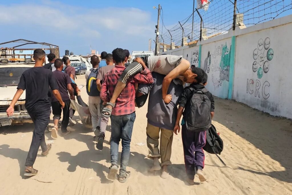
Forced displacement is often imagined as a visible moment: families ordered from their homes, people fleeing bombardment or civilians pushed across a border. Gaza demonstrates another dimension of displacement: what happens when the physical conditions necessary for return are systematically destroyed.
A demolished house might eventually be rebuilt. But return becomes vastly more difficult when the surrounding roads have disappeared, water and sewage systems have collapsed, schools and hospitals have been destroyed, farmland is inaccessible and the neighborhood itself lies behind a military-controlled boundary.
The destruction also threatens Palestinians’ relationship with property itself. With neighbourhoods flattened and land records, municipal archives and physical landmarks damaged or destroyed, some families now face difficulties proving ownership of homes and land buried beneath an almost unrecognizable landscape.
The danger is that displacement ceases to be temporary because the geography to which people are supposed to return no longer exists in a viable form.
Annexation Through Rubble?
This is where Gaza’s post-ceasefire geography raises its most serious political question.
If bombing decreases but Israeli military control over large areas remains, communities behind the Yellow Line remain inaccessible and reconstruction is prevented from restoring Palestinian life across the entire Strip, then a ceasefire alone cannot restore the territorial reality that existed before the war.
Physical destruction can therefore produce political consequences even without a formal declaration of annexation.
Homes disappear. Agricultural boundaries are erased. Communities become inaccessible. Palestinians become concentrated into smaller areas while military-controlled territory expands around them.
Viewed alongside repeated proposals by senior Israeli officials for large-scale Palestinian emigration from Gaza, these developments deepen fears that destruction and territorial control could facilitate permanent demographic change.
That conclusion should not be treated lightly, nor does every demolished structure prove such an intention. But the cumulative pattern demands scrutiny because Gaza’s future depends not simply on whether Palestinians survive, but whether they retain meaningful access to the land on which Palestinian society is supposed to be rebuilt.
The Right to Remain and Rebuild
Gaza is not merely a battlefield divided by military lines. It is a Palestinian homeland composed of neighbourhoods, farms, family properties, refugee camps, markets and communities carrying generations of history.
The central question after nearly three years of devastation is therefore not simply whether the bombing eventually stops. It is whether Palestinians will retain enough geographic space to reconstruct their society when it does.
A ceasefire that leaves communities demolished, farmland inaccessible and large areas under indefinite military control risks freezing wartime displacement into a new territorial order.
For Palestinians, reconstruction therefore means more than concrete and humanitarian aid. It requires restoring access to their land, protecting property rights, rebuilding destroyed communities and preventing temporary military boundaries from becoming permanent political borders.
The map emerging from Gaza’s rubble will determine far more than where Palestinians live. It will determine whether displacement remains temporary or becomes permanent, whether communities can be rebuilt or erased, and ultimately whether Palestinians retain the physical space necessary to remain on their homeland.