
Gaza Herald _A new policy paper by the Palestinian Center for Policy Research exposes how the so-called “Yellow Line”, originally presented as a temporary security boundary following the October 2025 ceasefire, is rapidly being converted into a permanent, de facto spatial division of the Gaza Strip.
The study, titled Engineering Spatial Control in the Gaza Strip: The Yellow Line Between Temporary Security Arrangement and Permanent Division, details a calculated expansion of Israeli land confiscation and military control across the enclave.
According to the report, the total territory placed under direct Israeli military control or severe access restrictions has surged from roughly fifty-three percent in October 2025 to between sixty-five and seventy percent by August 2026.
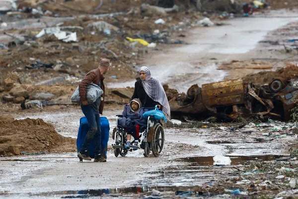
This spatial transformation extends far beyond a simple troop presence, evolving into a deeply entrenched infrastructure of permanent occupation. Behind the line, Israeli forces have constructed static military outposts, conducted systematic razing and land-leveling of entire residential neighborhoods, and enforced severe movement restrictions that violently bar Palestinian civilians and landowners from accessing their property.
By controlling physical movement and access, the occupation regime is actively reshaping the geography of the Strip and shrinking the livable territory available to its population.
The report places heavy emphasis on the catastrophic destruction of Gaza’s agricultural capacity and food sovereignty. Citing a joint assessment by the UN Food and Agriculture Organization and the UN Satellite Centre, the paper reveals that only three percent of Gaza’s agricultural land remained safely accessible as of June 2026. This deliberate denial of access transitions the crisis from direct war damage into a structural system of controlled resource deprivation, completely stripping Palestinians of the ability to cultivate their own land or sustain local food production.
Evaluating the strategic function of the Yellow Line, the policy paper considers whether it serves as a temporary security arrangement, a negotiating lever, or a blueprint for long-term territorial division. Based on physical infrastructure, military construction patterns, official discourse, and persistent demolitions, the study concludes that Israel’s actions on the ground strongly align with a policy of entrenching permanent partition, even without a formal declaration of annexation.
Furthermore, the paper warns that future reconstruction efforts risk being weaponized to enforce this separation.
By conditioning rebuild permits on geographic location and intrusive security clearances, and by implementing selective reconstruction projects in isolated pockets, the occupation regime threatens to permanently alter population distribution, block displaced families from returning to their original homes, and fracture the geographic and political unity of the Gaza Strip.
From a legal standpoint, the study distinguishes between a temporary ceasefire line, a buffer zone, and a legal political border, noting that establishing the illegality of specific demolitions and physical changes requires meticulous case-by-case documentation of their timing and military justification.
To counter this ongoing land grab, the center recommends publishing an official, agreed-upon map of the boundary, establishing a neutral international mechanism to monitor military movements, enforcing clear binding timelines for total withdrawal, and maintaining a unified reconstruction framework that preserves Gaza as an indivisible Palestinian territory.

